


Roman Road and Castleman Trailway Circular Walk in Broadstone, Dorset, UK
On this walk, I explore two historic routes – an old Roman Road and an old railway, now known as the Castleman Trailway. Walking in the footsteps of Vespasian and Charles Castleman, I’ll also see parts of Upton Heath, discover an ancient oak tree, pass through busy and quieter areas, and learn more about the history of the area. I’ll finish at a former railway hotel, so come and join me in Broadstone near Poole, Dorset, for another episode of Walks & Pubs.
*O Durotriges, you are worthy of praise!
**O spectator, subscribe to this channel – the Emperor commands it!
This video was filmed on 11 March 2026 and published on 8 May 2026.
Thanks to The Goods Yard pub, Broadstone.
Links
My website: walksandpubs.uk
My WhatsApp channel: whatsapp.com/channel/0029VaGSr2L6buMJJPeGgl1k
The Goods Yard: thegoodsyard.com
Broadstone Village Community: broadstonecommunity.co.uk
Broadstone Neighbourhood Forum: broadstoneneighbourhoodforum.org.uk
Chapters
00:00 Intro
00:33 Castleman Trailway to Roman Road
02:49 Roman Road and Upton Heath
08:30 Rushcombe Bottom to Merley
11:19 Castleman Trailway and Fenners Field
14:49 Broadstone and The Goods Yard
17:37 Route Explanation and Outro
Please note that the routes I walk are designed for me and my individual needs only. I do not guarantee their suitability or safety. You always travel at your own risk.
Locations visited
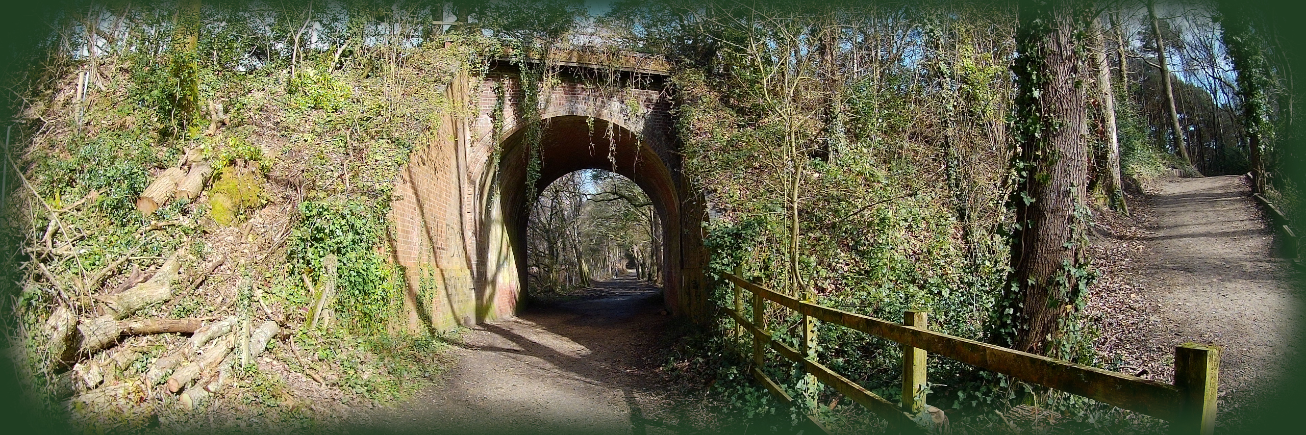
Broadstone – Castleman Trailway – Broadstone Roundabout – Broadstone Way – Roman Road – Upton Heath Nature Reserve – Corfe Mullen – Beacon Road – Lesley’s Heath – Corfe Lodge Road – Lavender Way – Gladelands Way – Springdale Road – Highfield Road – Lancaster Drive – B3074 road – Blandford Road – Higher Blandford Road – Poole – Corfe Barrows Nature Park – Rushcombe Bottom – Ashington – Ashington Lane – Willet Road – A31 road – River Stour – Oakley – B3073 road – Oakley Hill – Merley – Fenners Field Recreation Ground – Fenners Oak Tree – Merley Tunnel – Broadstone Golf Course – The Goods Yard pub – Station Approach – St John’s Church bus stop
Please follow the Countryside Code: countryside-code.org.uk
Boundary data in this video: powered by MapIt – mapit.mysociety.org